A residence with rooftop solar arrays, tiled roofs and mature tropical trees
argelis disla
Location not specified
Unsplash License
Original photograph ↗ (opens in a new tab)Licence ↗ (opens in a new tab)WUKIT / IMAGE CREDITS
Sources, acknowledgements and context for the photography, editorial illustrations and maps used across WUKIT.
Editorial imagery illustrates the WUKIT world. People, properties and project details shown do not represent actual WUKIT customers, verified marketplace professionals or completed WUKIT projects. The How It Works journey uses fictional people and a fictional project to explain the experience.
The homepage uses a user-supplied hero composition. Other editorial illustrations appear across Services, Our Story, How It Works, App Features, Across Jamaica and the Journal. Selected approved images also appear in homepage and community previews. These images are not customer testimonials.
Journal imagery is created for editorial illustration. Product-related Journal visuals are sample views, not real customer records, quotes or transactions.
These licensed photographs explain properties, equipment and solution areas. They do not depict completed DSA installations, DSA customers or DSA employees. Locations are identified only where the source confirms them. The residential solar hero’s location is not specified; it is not presented as Jamaica. Products shown do not imply manufacturer partnerships, endorsement or confirmed availability.
argelis disla
Location not specified
Unsplash License
Original photograph ↗ (opens in a new tab)Licence ↗ (opens in a new tab)Kindel Media
California, United States
Pexels License
Original photograph ↗ (opens in a new tab)Licence ↗ (opens in a new tab)Rsparks3
Location not specified
CC0 1.0
Original photograph ↗ (opens in a new tab)Licence ↗ (opens in a new tab)Please donation
Location not specified
Pexels License
Original photograph ↗ (opens in a new tab)Licence ↗ (opens in a new tab)Jakub Zerdzicki
Location not specified
Pexels License
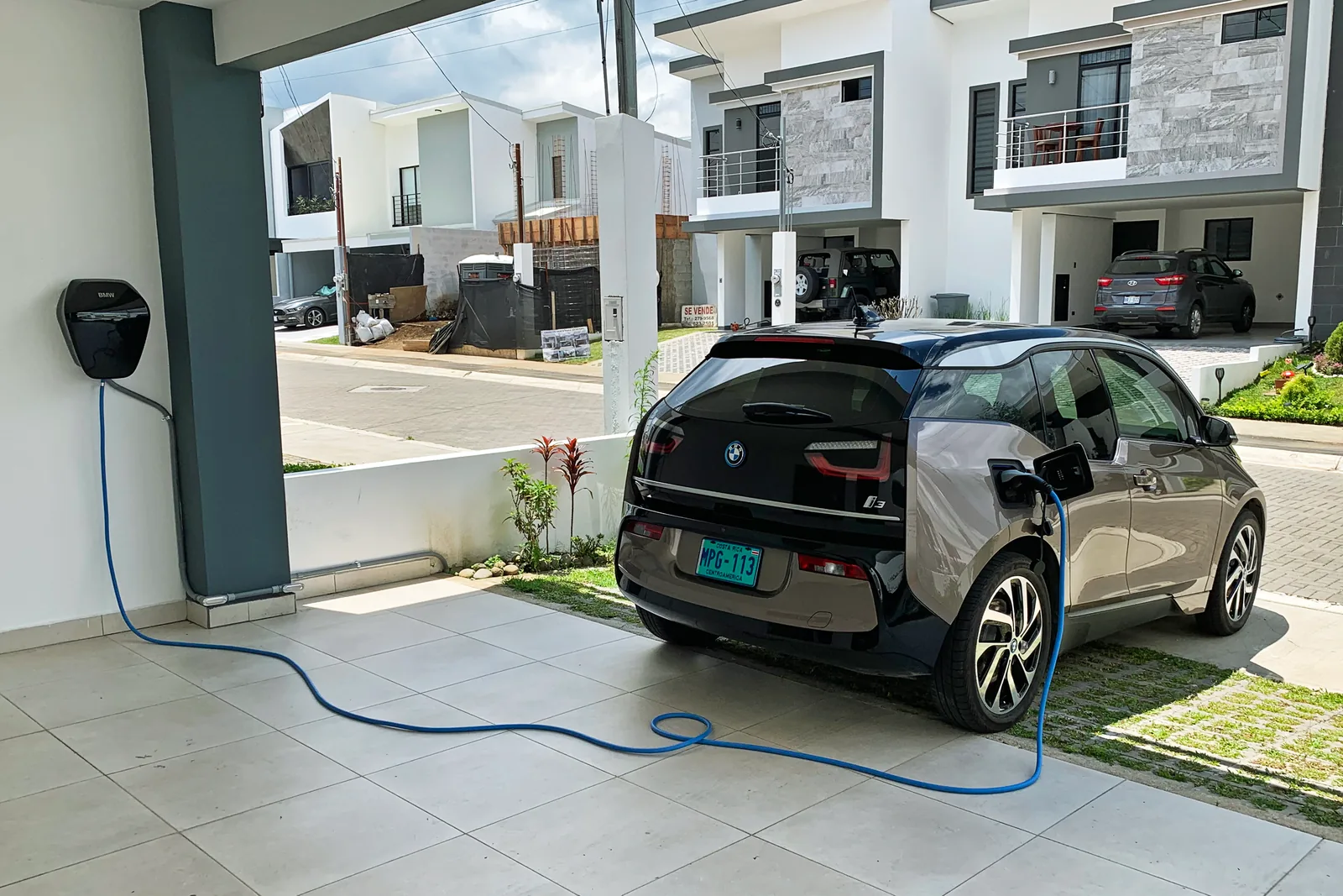
Original photograph ↗ (opens in a new tab)Licence ↗ (opens in a new tab)Mario Roberto Durán Ortiz
Tres Ríos, Costa Rica
CC BY-SA 4.0
Original photograph ↗ (opens in a new tab)Licence ↗ (opens in a new tab)View the licensed derivativeJakub Zerdzicki
Kamionki, Poland
Pexels License
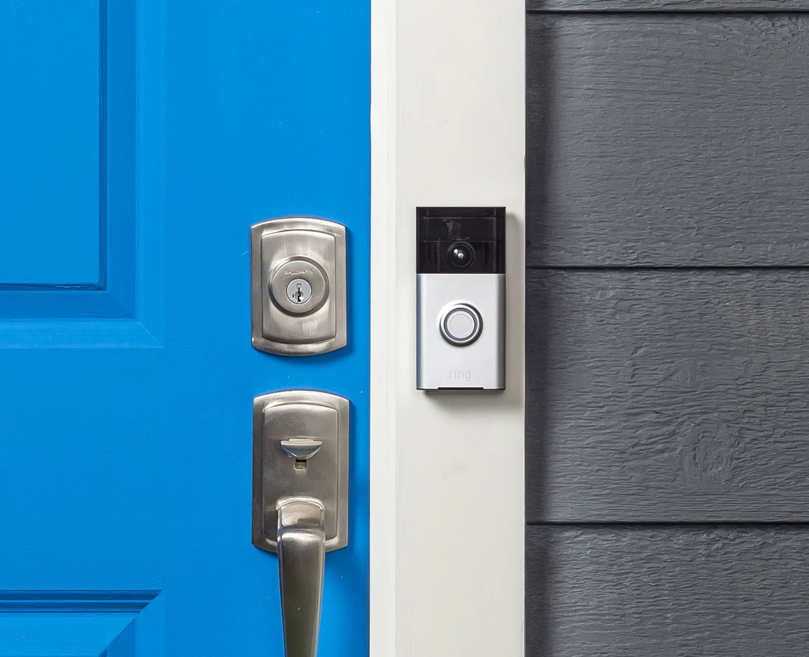
Original photograph ↗ (opens in a new tab)Licence ↗ (opens in a new tab)Ring
Location not specified
CC BY-SA 4.0
Original photograph ↗ (opens in a new tab)Licence ↗ (opens in a new tab)View the licensed derivativeRussian Supreme
Portland, Jamaica
Unsplash License
Original photograph ↗ (opens in a new tab)Licence ↗ (opens in a new tab)Karl Callwood
Guaynabo, Puerto Rico
Unsplash License
Original photograph ↗ (opens in a new tab)Licence ↗ (opens in a new tab)Polina Tankilevitch
Location not specified
Pexels License
Original photograph ↗ (opens in a new tab)Licence ↗ (opens in a new tab)Field Engineer
Location not specified
Pexels License
Original photograph ↗ (opens in a new tab)Licence ↗ (opens in a new tab)Photographs have been resized and converted to WebP, with responsive display crops. The EV charging and video doorbell derivatives remain available under CC BY-SA 4.0. No generative alteration has been applied to these photographs.
Source acknowledgements for photographs held in the WUKIT website collection.
Pexels
Source photograph ↗ (opens in a new tab)Pexels Licence ↗ (opens in a new tab)Mikael Blomkvist / Pexels
Source photograph ↗ (opens in a new tab)Pexels Licence ↗ (opens in a new tab)Helena Lopes / Pexels
Source photograph ↗ (opens in a new tab)Pexels Licence ↗ (opens in a new tab)Pexels
Source photograph ↗ (opens in a new tab)Pexels Licence ↗ (opens in a new tab)RDNE Stock project / Pexels
Source photograph ↗ (opens in a new tab)Pexels Licence ↗ (opens in a new tab)The official WUKIT logo and WUKIT Pro artwork were supplied by WUKIT. The DSA logo uses the supplied official master. These are brand assets, not recreated illustrations.
The island outline uses Natural Earth’s public-domain map data. Parish names and county groupings follow the Jamaica Information Service’s parish profiles. Parish boundaries use geoBoundaries data based on OpenStreetMap, under CC BY-SA 2.0. Maps are simplified for display.